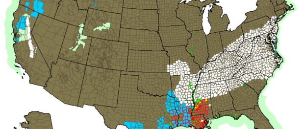
Winter Storm Watch in Effect, Fri. Jan. 22 Through Sun. Jan 24
NEW JERSEY – The National Weather Service has declared that a Winter Storm Watch is in effect, beginning Friday night, Jan. 22 and ending Sunday Jan. 24. A Winter Storm Watch means that significant snow could occur, which will create hazardous travel conditions.
While forecasters are expecting accumulations of about two feet in the Washington DC and Baltimore areas, in the New York City to Boston corridors, the path of the storm is still uncertain. If the band from the Washington DC area heads further north, it could create greater storm totals. Icy conditions are expected further south in locations including North Carolina and Kentucky.
For Northwest New Jersey, including Sussex County, the snow is expected to begin late Friday night into early Saturday morning and then continue throughout the day, tapering off on Saturday night. Snowfall totals are expected to range between three to eight inches during the duration of the storm, unless the heavier segment from the DC area migrates north and then those accumulations may increase.
In areas south of Sussex County, such as Morristown, totals for the storm are predicted between six to 10 inches, with heavier wind gusts of 15 to 20 mph, and even as high as 30 mph.
New York City is under a Blizzard Watch, with the source of this storm mainly coastal, as well as a Coastal Flood Watch. While snowfall totals are expected to be similar to those in Morristown, under the Blizzard Watch, winds may gust up to 50 mph. Coastal flooding may also occur in New York Harbor and Long Island areas, which is expected to be minor, and beach erosion may also be a result.
Philadelphia is also under a Blizzard Watch with snowfall totals of 10 to 16 inches of snow predicted.
In New Jersey Shore points, such as Avon By The Sea, a Winter Storm Watch is in effect, with snow totals expected to be about five to 10 inches. Closer to the coast, rain and sleet may occur, as well as gusts up to 60 mph. A Coastal Flood Watch has also been declared.
Cape May is currently under a Coastal Flood Watch from Friday into Sunday, with wave heights in near-shore waters in Cape May and Delaware up to 20 feet. Moderate to major coastal flooding could occur.
Inside Scene will continue to track this upcoming storm.
Click here to stay on the scene with us, and follow us on Facebook.


Leave a comment
You must be logged in to post a comment.